The goal of TRPA GIS is to maintain and promote the use of a regional geographic data warehouse for the Tahoe Basin and to assist in the development of shared geographic data and automated systems which use that data. GIS is the industry standard for mapping geographic information and this tool allows for broader integration and comparison, improved analysis, and multilayer functionality. The use of GIS helps TRPA use the best information for planning and monitoring. TRPA has established standard operating procedures to outline standards for the delivery of consistent, standardized GIS data, maps, data analysis, and tools. TRPA is continually improving the GIS resources and tools.
Interactive Maps
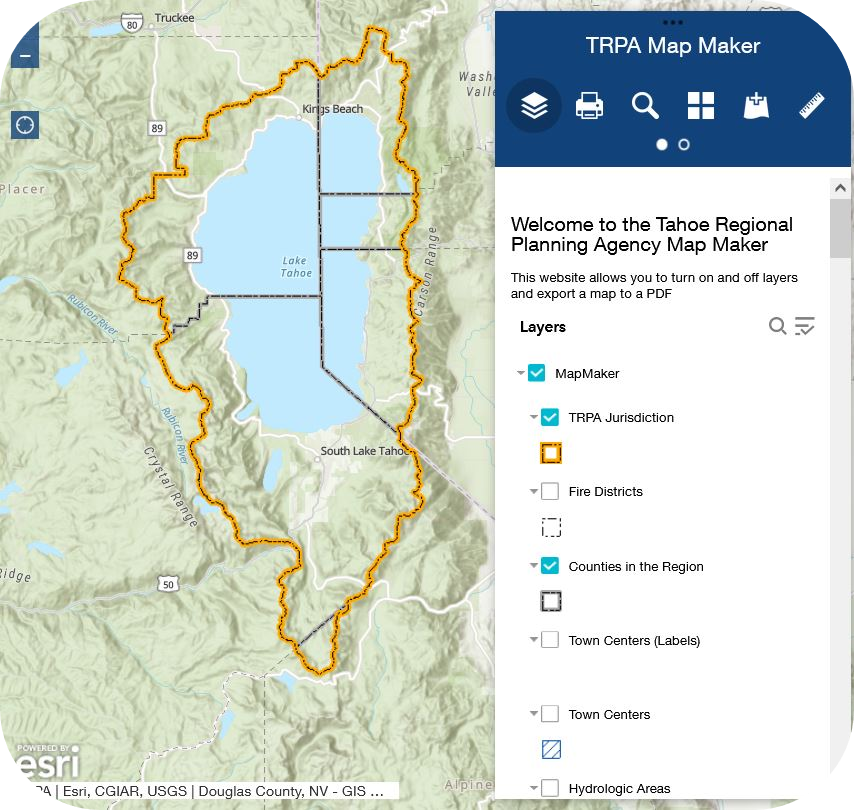
| Map Maker This map allows users to explore TRPA’s publicly available spatial datasets, turn on and off layers, and create an exportable map. |
 |
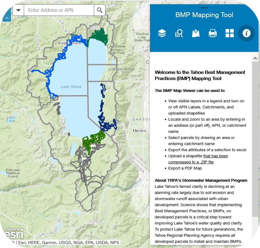
| Best Management Practices (BMP) Map Viewer This map allows users to search by address or part of the address or by APN to gain BMP Status information which can be exported to Excel. |
 |
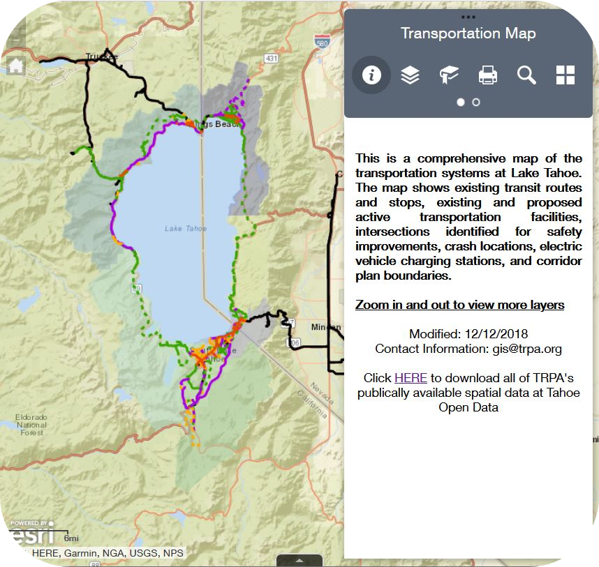
| Transportation Web Map This is a comprehensive map of the transportation systems at Lake Tahoe. The map shows existing and proposed active transportation facilities, transit routes, crash locations, and transportation corridors and analysis zones. This tool also allows users to zoom in to an address or APN and determine if their project is within 75 feet of a proposed or existing bicycle or pedestrian route. The map serves as a reference for applicants of the Regional Grant Program. |
 |
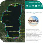
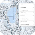
| Shoreline Plan Map This map provides a current inventory of Lake Tahoe shoreline structures, natural features, and environmental constraints. This information is provided to inform the Shoreline Planning Initiative. A Shoreline Plan Map Tutorial includes directions for using the map and a description of layers. |
 |
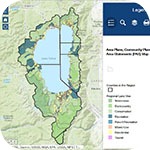
| Plan Area Statements Map Viewer This interactive map provides the location and plan document associated with adopted Area Plans, Community Plans (CP), and Plan Area Statements (PAS) and it provides estimates on whether the land is sensitive or not sensitive (not field verified). |
 |
| The Permit Review Map Helps planners review layers related to the TRPA’s permit process. |
 |
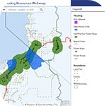
| Housing Resources Map Includes data that may be helpful to developers, local jurisdictions, and the public looking for resources on affordable, moderate, and achievable housing in the Tahoe Basin. Helpful layers include the Residential Bonus Unit Boundary, the IRS Opportunity Zones, parcels that are greater than one acre in size, and where ADUs are permissible. The map will be updated as new data becomes available. |
 |
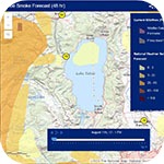
| 48 Hour Smoke Forecast for the Tahoe Basin A time aware showing a 48 hour smoke forecast map for the Tahoe Basin and surrounding region. It is updated every 24 hours by NWS. Concentrations are reported in micrograms per cubic meter. |
 |
| The Environmental Improvement Project (EIP) Tracker Map Shows the approximate locations of EIP projects, which you can color-code in few different ways. Locations are approximate, and for large projects are simplified to a single point even though the project may have multiple locations. |
Download Geographic Information Systems (GIS) Data
Click here to access TRPA’s published open data at Tahoe Open Data.
Maps
- Alternative Fuels and Electric Vehicle Charging Infrastructure Map
- Area Plan Map
- Buoy Line Maps
- Douglas County Zoning Map
- Electrical Line Maps
- Fire District Map
- Fish Habitat Map
- General Tahoe Map
- Hydrologic Transfer Areas
- Impervious Surfaces (2010) with hydrologic transfer areas
- Land Capability Map (estimates location of sensitive and non-sensitive lands)
- LiDAR Faults Shaded Relief Map
- LSOG Eastside Westside Forest Types
- Master Plan Map
- Public lands, recreational areas, and trails
- Regional Plan Maps (Regional Land Uses and Town Centers)
- Regional Transportation Projects
- Scenic Bikeways map
- Tahoe Basin Map
- Tahoe Site Map
- Transportation Corridor map
- Transportation Corridor Noise Monitoring Plan with Community Noise Equivalent Levels
- Wastewater Utility Service Area map
Don’t see the data you are looking for? Contact us. gis@trpa.org